If you subject your friends to enough reels you can psyop them into doing a 50 mile bike ride in Japan with you :)
Intro
The first time I heard about the Shimanami Kaido route was back in 2021, when it was featured on the Trash Taste Cycling Special. The garbage boys raced to see who could reach the end the fastest while completing challenges along the way. Despite struggling pretty much the whole time, it seemed like they generally had a good time and views were absolutely killer.
Ever since watching it, cycling here has been on my bucket list. So when the Japlan 2025 group chat formed, featuring some bike inclined friends, I knew this was the perfect opportunity. Once we nailed down some of the broad logistics of the trip I started peppering them with Shimanami Kaido content to convince them we had to do it. It wasn’t exactly the most convenient excursion, per se, and definitely not a relaxing one but that didn’t seem to be the vibe of this trip anyway. And what one person said they thought was a joke soon became ironclad plans locked into our sometimes-rigorous itinerary.
What exactly is the Shimanami Kaido?
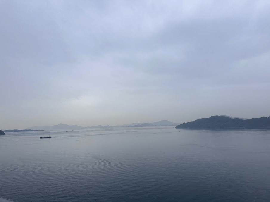
The name refers to both the highway that connects Hiroshima Prefecture and Ehime Prefecture across the Seto Inland Sea and the bike route itself. When the highway was being constructed, cycling infrastructure was designed into all the bridges, allowing the cycling route to traverse the sea over six major islands and a series of unique bridges. The region itself is located with in the Setonaikai National Park, the largest in Japan. The islands have a lot of agriculture as well and are especially known for their citrus groves, you’ll cycle past quite a few1. This is all to say: the scenery we saw on the ride was legitimately stunning, even in spite of our overcast day.
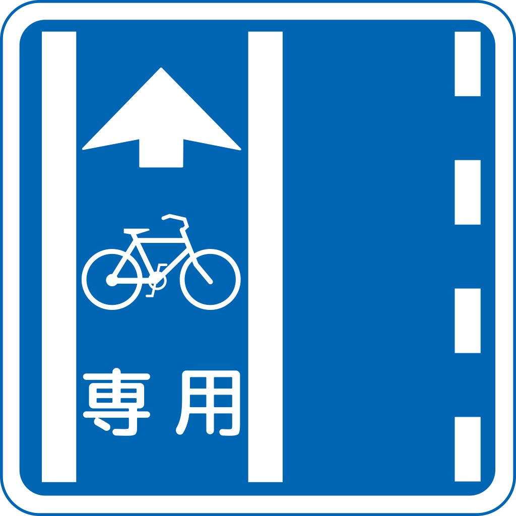
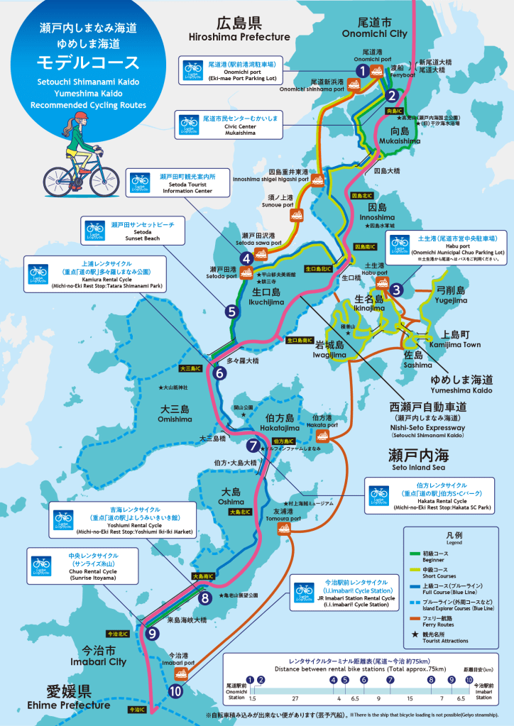
There’s actually a ton of routes and detours you can take throughout the Shimanami Kaido, but the canonical “beginner/full” route is 70 km (45 miles), starting from Onomichi and ending across the sea in Imabari. This was very doable in a day, but there’s definitely a lot more worth exploring, see map below. Following the path is pretty straightforward, as there is a painted blue line denoting the route the whole way, along with signage in English.
The last key piece to this adventure are the bikes themselves, which can rented at various shops along the route allowing a ton of flexibility. Our plan was to rent bikes at the beginning in Onomichi and drop them off at the end of the route, at Imabari Station, then hop on a bus or ferry back. There was also a bunch of businesses that catered to the biking crowd, like cafes offering local specialties from each of the islands and hostels with bike amenities.
Our Day
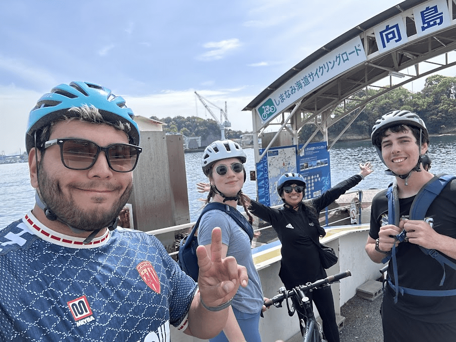
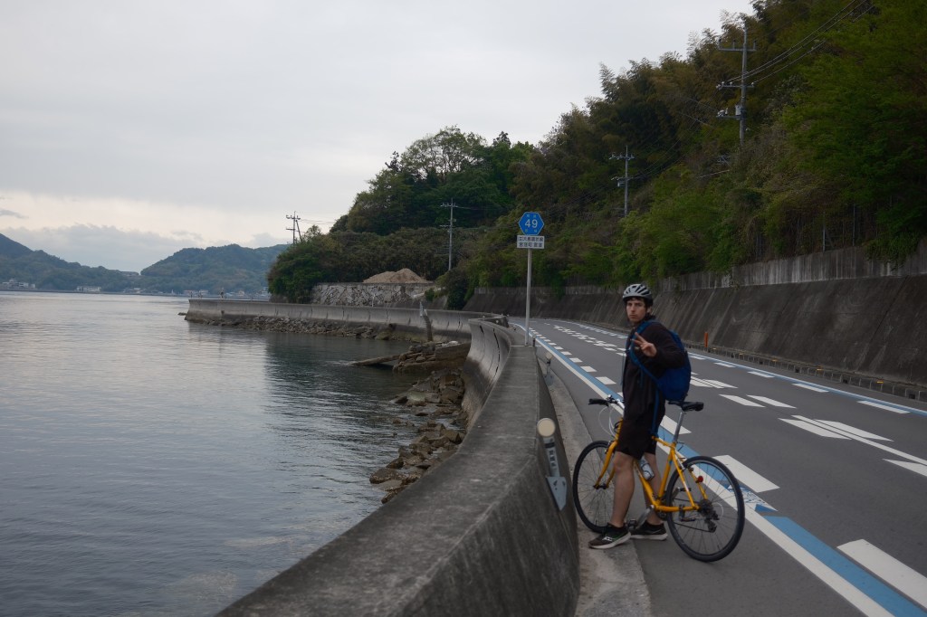
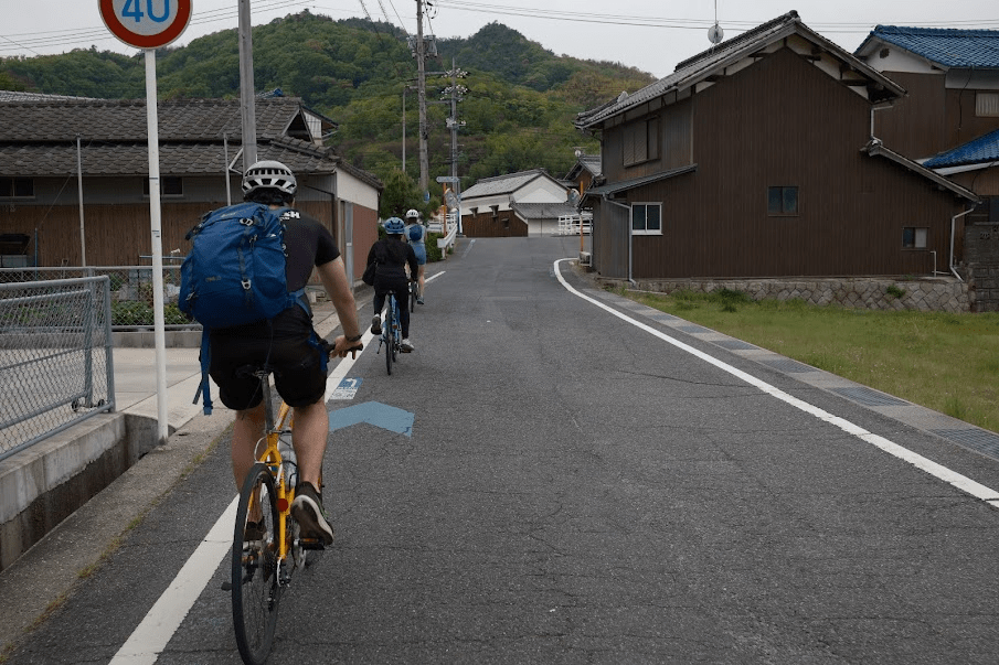
A common theme of our trip was aggressive planning with time-sensitive transfers and that required us to lock in to execute2. We were staying in Osaka, and even with optimal trains, it would take about 2.5 hours to get to the bike rental shop down in Onomichi. There wasn’t a way to reserve the standard road bikes ahead of time, and from what we read online, they could run out as early as 10AM. This meant we had to be ready and out the door by like 6:30 AM, or risk having a very sad bike-less day.
The journey took three trains in total, including a Shinkansen from Shin-Osaka down to Fukuyama. If you are planning to do this ride, I would strongly recommendation not doing this. Instead stay in Fukuyama or at one of the cyclist guesthouses and sleep in a bit. 🙂
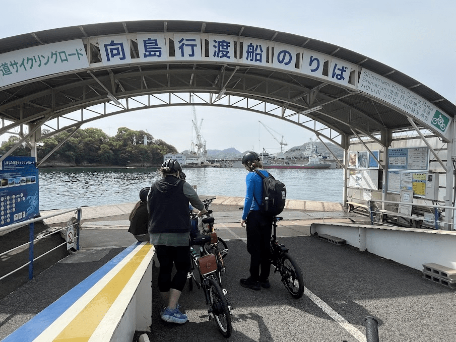
The rental shop was just around the corner from the train station and when we arrived it was decently busy, but we had no trouble getting our bikes (Giant Cross bikes). After gearing up we began the first leg of the ride which, interestingly, was actually a short ferry ride across the strait to the starting point on the first island, Mukaishima.
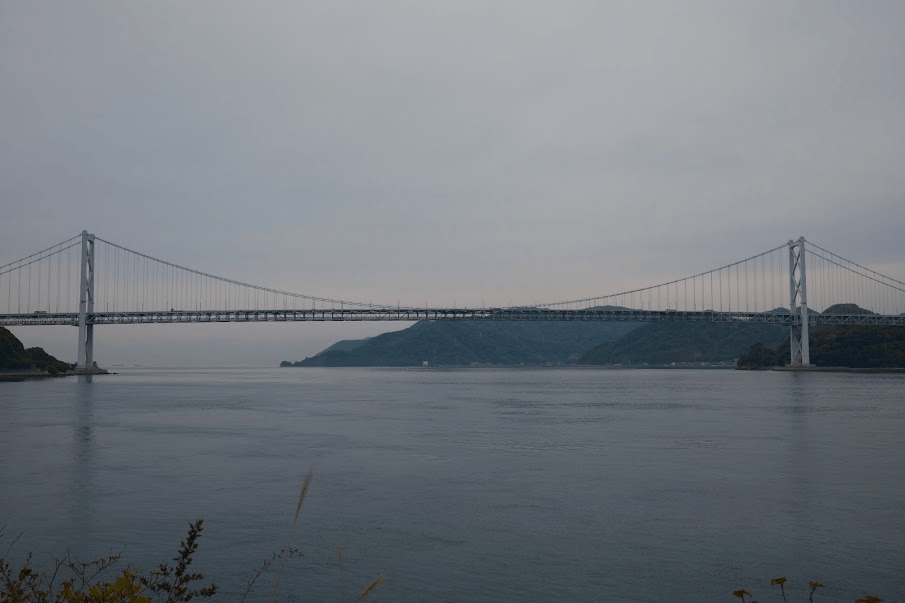
We disembarked and were off! We cycled through the small town before reaching the coast, then followed the edge of the island around until we spotted the first of the six bridges: the Innoishima Bridge. This cycling route is actually predominantly flat; over the whole day, we didn’t even hit 2,000 feet of elevation gain. This is because the majority of the route runs along the sea, with most of the elevation changes coming at each bridge’s on-ramp and off-ramp. Crossing this first bridge was super cool because bikes and motorbikes were on a lower platform by themselves, completely separate from cars. Golden Gate Bridge take notes…
The second island was called Innoshima. We began by descending down from the bridge before riding alongside the coastline again. After a few kilometers, we turned inland, cutting across the island and passing some farms and citrus groves. Unfortunately, we weren’t there during the right season to see the citrus groves in full bloom, next time.
We made our first detour of the trip after seeing signs for something intriguing called HAKKO Park, a combination farm, fermentation lab, cafe that, for some reason playing One Direction for their goats. It seemed like a great place to stop for lunch, and the music seemed to be working, because the goat cheese was amazing, along with the rest of the meal. They also had oranges that were grown by on a nearby island that might be the best I’ve ever had.
Afterwards we returned to the route and soon spotted our second bridge of the day: the Ikuchi Bridge. This time, we were on the upper deck, so the views were better than the first one.
Keeping with the Vitamin Sea theme, Ikuchijima is known as the “Lemon Island of Japan.” There were several themed stops and citrus-inspired art installations, including a monument marking the “Birthplace of Japan’s Lemons”. We also passed some cool-looking industrial buildings on the North side of the island that looked like they were used for shipbuilding.
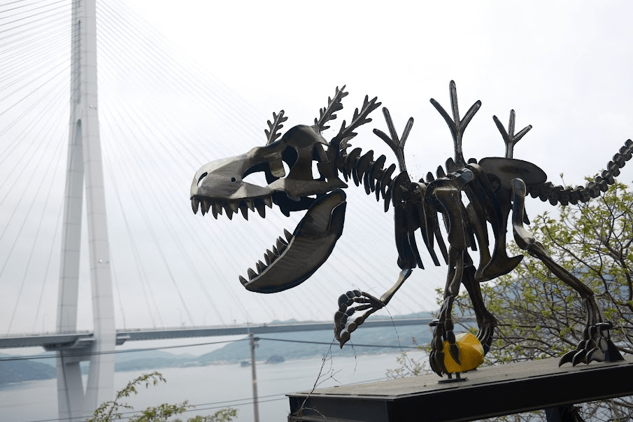
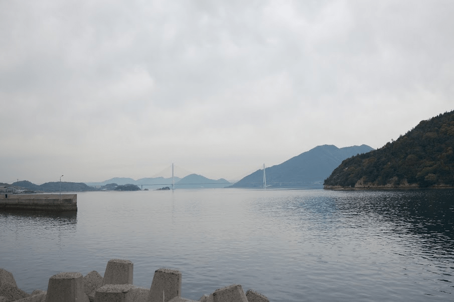
The third bridge of the day, Tatara Bridge, was the most visually striking one yet. We stopped for some photos at an observation deck near a cafe called Lemon Valley and a sculpture named Lemon Monster. Crossing this bridge marked roughly the midpoint of the ride , which was fortunate, as it looked like our overcast day was going to turn rainy earlier than anticipated.
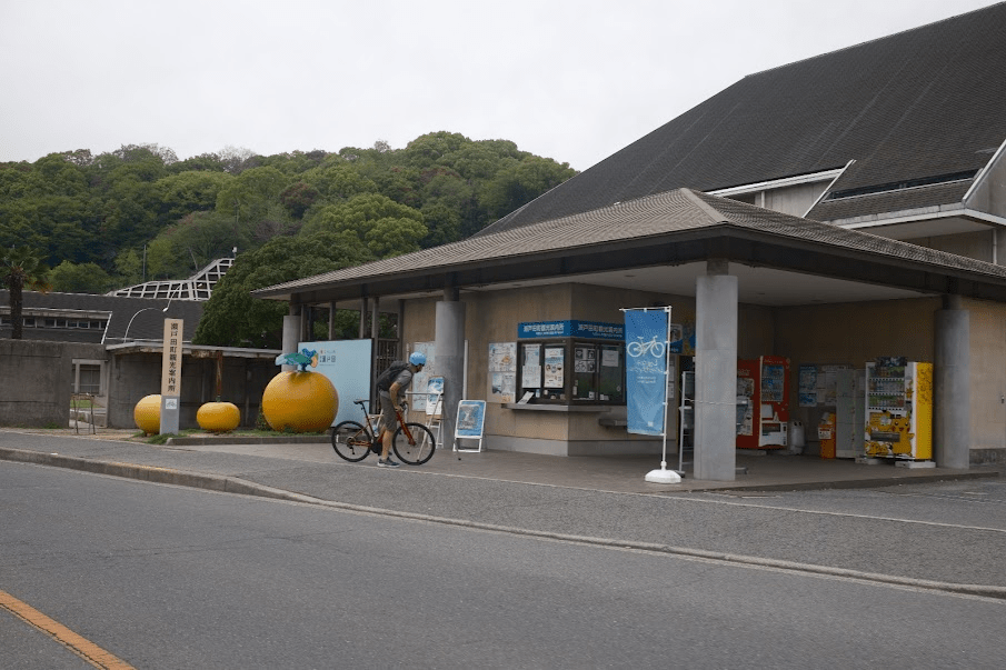
Ōmishima was our fourth island, and it featured a “Cyclist Sanctuary” rest area with a menu of citrus infused treats that were too irresistible to pass up, rain be damned. They had lemon soft serve, lemon-covered chicken and last but not least, a carbonated lemon drink. There was also a gift shop with food and merch from all the islands, along with some cycling swag. After accepting our fate to be wet the rest of the day, we headed off down the coast to cross the Ōmishima bridge to Hakatajima.
Hakatajima was the smallest island, and we were only there for a few kilometers before crossing our fifth bridge, the Hakata-Ōshima Bridge, over to Ōshima Island. The bridge passed over a small bonus island you could stop at, which seemed to have a bunch of campsites. From the bridge, we also spotted some castle ruins, which we later biked past once on Ōshima. At this point, the rain slowing started to come down more steadily, but we were nearing the end, just one last bridge to go.

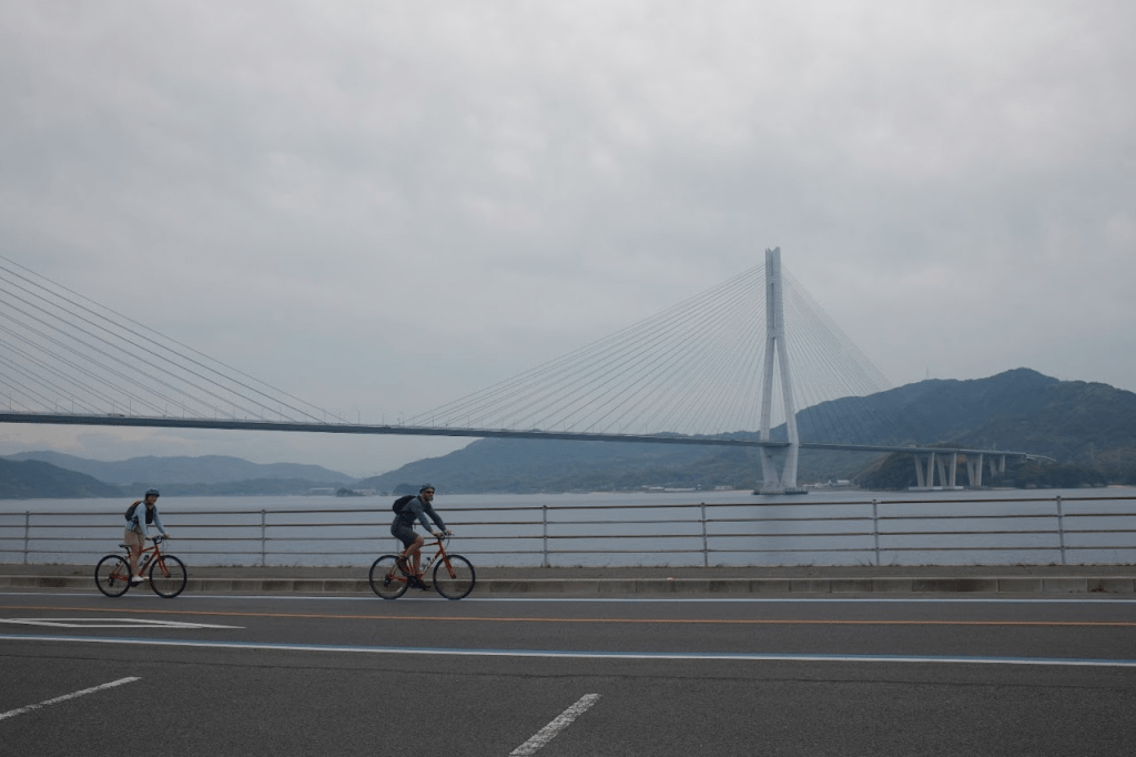
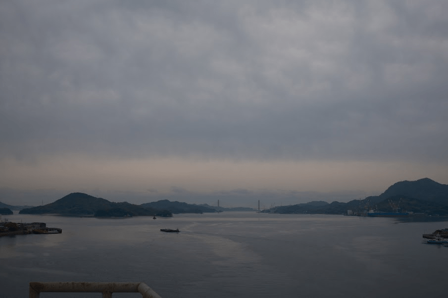
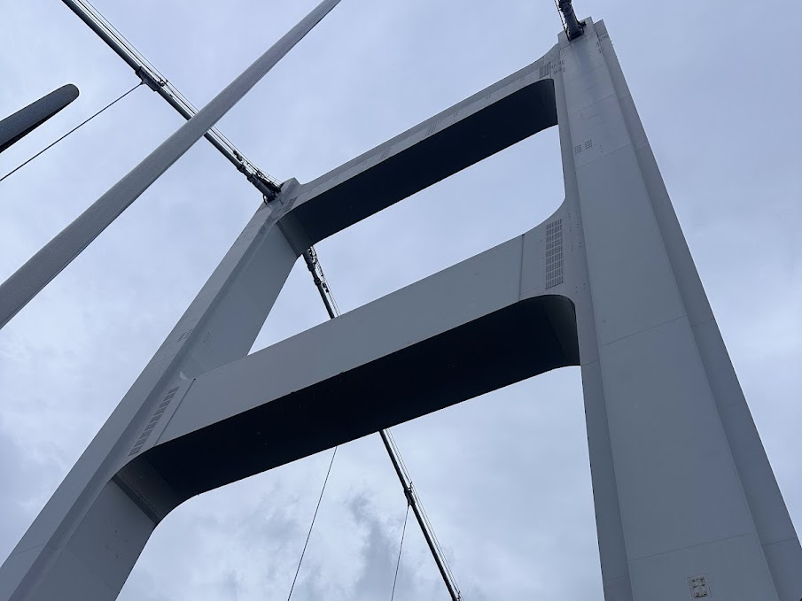
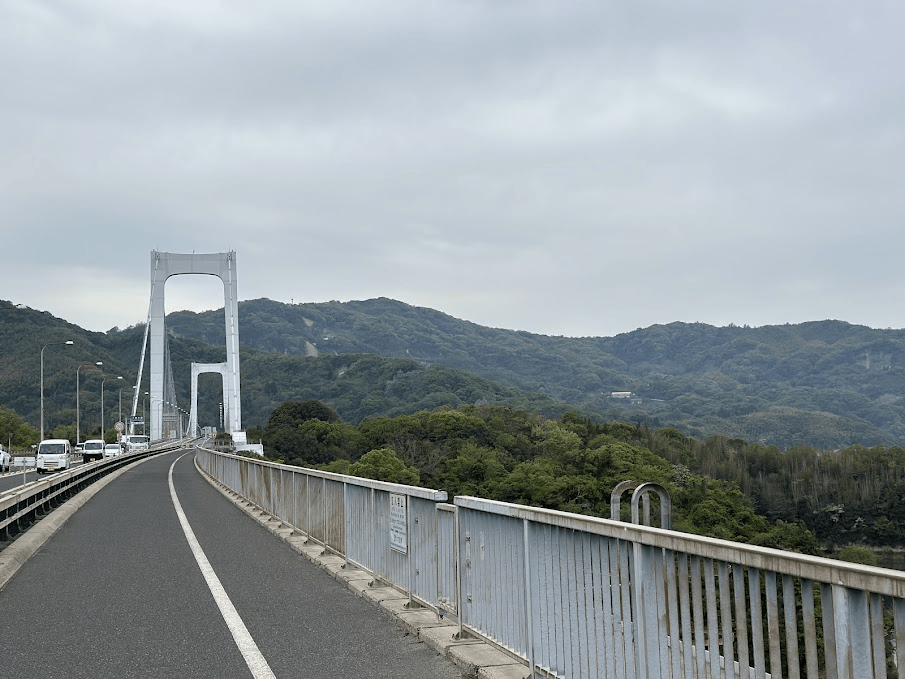
The approach was a bit daunting, the Kurushima Kaikyō Bridge was by far the longest of the day, stretching over four kilometers. It kinda felt like a video game boss battle, with three distinct stages, since it was actually three consecutive bridges in one. The whole thing is reminiscent of the San Francisco Bay Bridge, with spans broken up by small islands acting as anchors. In the Trash Taste special they reached this point around sunset and the views were incredible. On our overcast day, they weren’t quite as dramatic, but still breathtaking. And after crossing we were just six kilometers from our endpoint, surely it would be uneventful…
As we neared our final destination, I lost focus while yapping with Erik and rode over a metal sewer grate a bad angle. It was now slick from the rain, and I lost traction, causing the bike to slide out from under me. I fell hard on my side and skidded onto the road scraping up my knee and elbow ( my prized SF City MUNI jersey was fine, though).
Luckily for me, I crashed right in front of a Lawson, so I was able to go inside, clean up my scrapes, and recompose myself a bit. I was pretty annoyed with myself, especially since we were within three km of the end but that’s probably why I wasn’t paying as much attention as I should have been.
I hobbled back onto my bike, and we finished out the ride to Imabari Station rolling up after a leisurely 7.5 hours. Looking at the map we actually did a bonus segment at the end, since the marked route ends right after the final bridge, but we continued an extra 6.5 kilometers. That brought the total distance traveled to ~80 kilometer, about 50 miles!
Final Thoughts
This was a lot of fun! I would recommend it even if you don’t think of yourself as a cyclist. When I got back to our rental apartment I iced the bruise on my butt and had a strong zero for the bruise on my soul. I’m thankful to have friends willing to go on adventures like this, last summer myself and Justin walked around the perimeter of the Yamamote Line in Tokyo, for the vibes.
“しょうがない , we ball” – Joe

Leave a comment